Public-sector, territorial, and scientific information management teams.
← Back to projects
Project · territorial intelligence
Territorios ANID
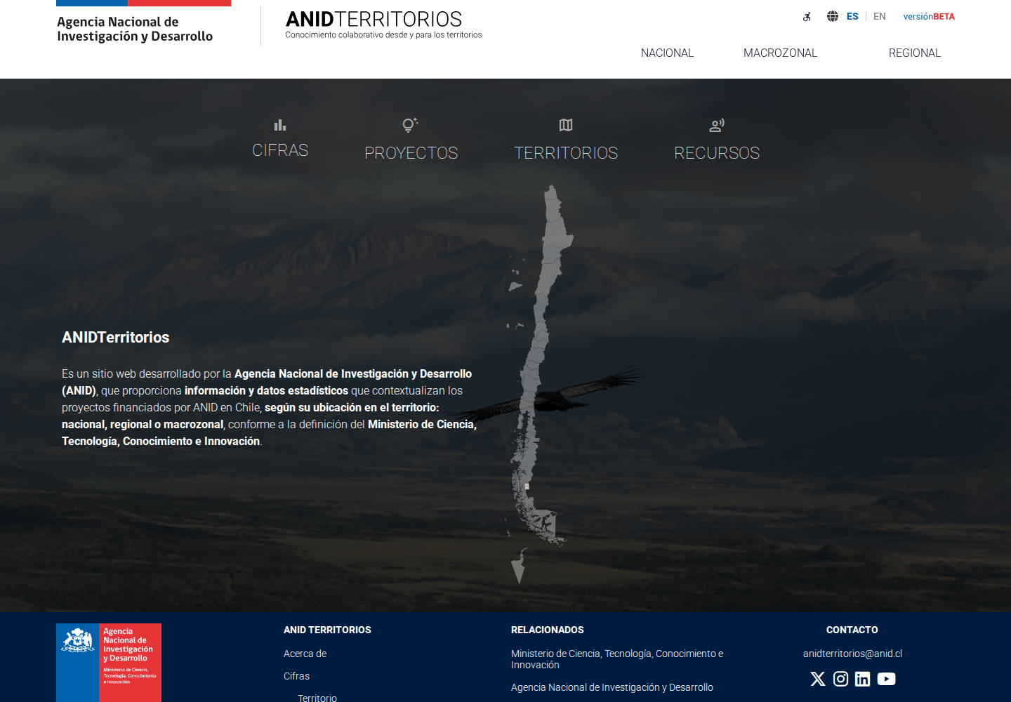
A public platform for exploring scientific and technological information by region, macro-region, or nationwide.
Public platform in operation with ongoing technical support.
Design and development, administration tools, and ongoing system evolution.
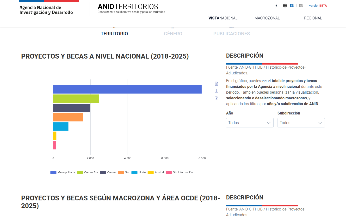
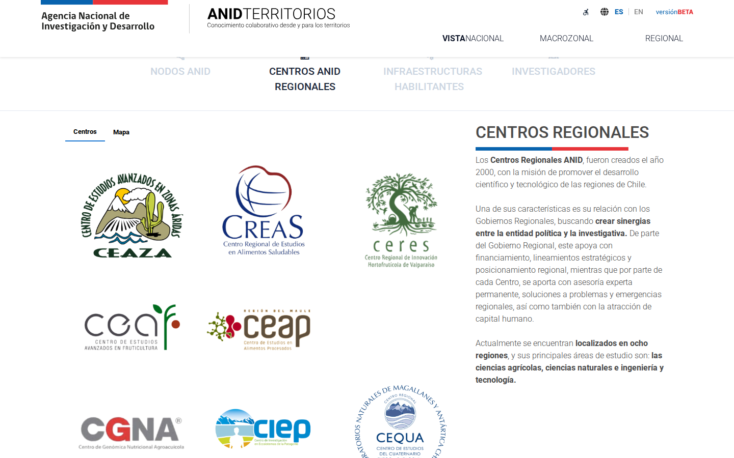
Projects, figures, capabilities, and infrastructure available at national, macro-regional, and regional levels.
How it is built
Sources, architecture, and tools
Information sources
Records and content managed by ANID: projects, nodes, regional centers, enabling infrastructure, and territorial indicators.
Architecture
An Angular web application that queries a JSON API built with Flask. The public frontend and administration panel share the same backend.
Data and processing
MySQL with SQLAlchemy. Python, pandas, and import tools process and update files and administrative records.
Maps and visualization
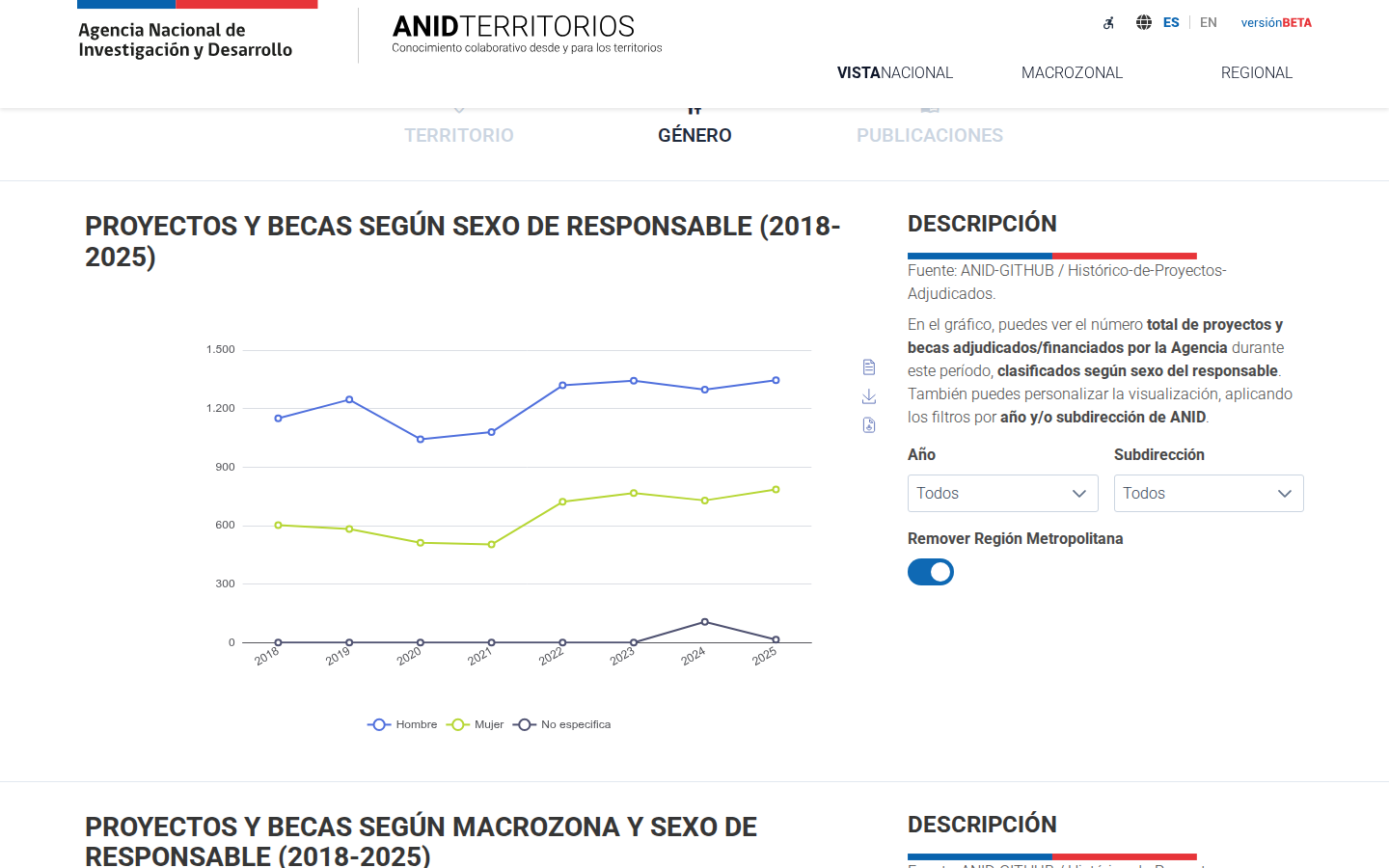
Leaflet supports territorial navigation and ECharts provides charts, comparisons, and indicators across different geographic scales.
The problem
What the project needed
Information about projects, capabilities, and infrastructure was spread across different sources. It needed to be brought together and made explorable from a territorial perspective.
Our work
What we developed
- National, macro-regional, and regional views.
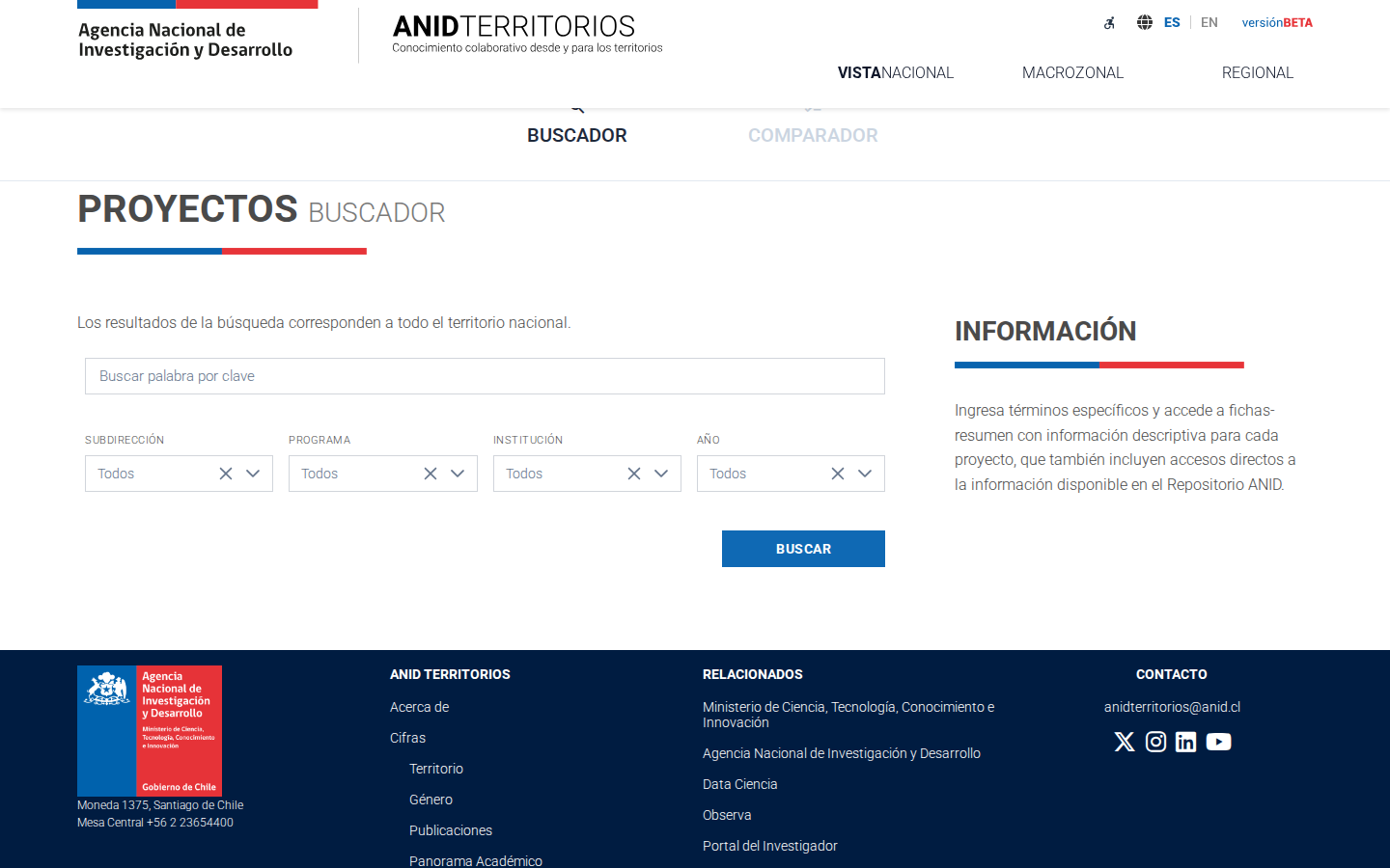
- Search across projects, figures, capabilities, and resources.
- Content management and administration tools.
- Accessibility and ongoing maintenance.
The platform in use
Some of the project's components
Views of the applications that make up the project.
Let's talk
Tell us what you need and where your information lives.
We can help you organize it, connect it, or turn it into a useful tool.
Talk to the team